Maastokartat is a powerful topographic mapping platform designed to help users explore outdoor environments, navigate terrain, and track locations effortlessly. With high-definition maps, real-time tracking, and advanced route planning, Maastokartat ensures a seamless and informative outdoor experience.
Accurate Topographic Mapping & Location Tracking
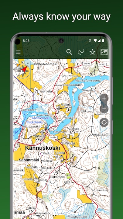
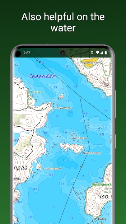
- Access detailed maps based on data from the National Land Survey of Finland.
- View aerial imagery and satellite images covering global locations.
- Track your position with multiple coordinate display formats, including WGS84 and MGRS.
Navigation & Route Planning
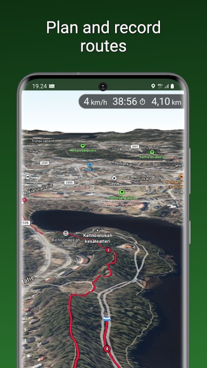
- Use a built-in compass and map rotation for directional guidance.
- Navigate to destinations with real-time distance and direction indicators.
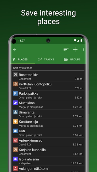
- Save and organize places and routes into customizable groups.
Advanced Features with Maastokartat Plus
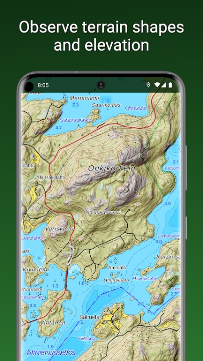
- Explore high-definition topographic maps with elevation and depth details.
- Utilize 3D aerial and satellite imagery for enhanced terrain visualization.
- Access offline maps by preloading selected areas for remote navigation.
Property Boundaries & Location Sharing
- View property boundaries and identifiers as separate map layers.
- Share locations with other users and track their movements on your map.
- Record traveled routes and measure surface areas for precise mapping.
Frequently Asked Questions
Q: How does Maastokartat provide accurate topographic mapping?
A: It uses data from the National Land Survey of Finland and global satellite imagery.
Q: Can I navigate offline with Maastokartat?
A: Yes, users can preload maps for offline use with Maastokartat Plus.
Q: Does Maastokartat support route planning?
A: Yes, users can plan, save, and organize routes for efficient navigation.
Q: What additional features does Maastokartat Plus offer?
A: It includes 3D maps, elevation details, offline navigation, and property boundary overlays.
Q: Can I share my location with other users?
A: Yes, users can share locations and track movements in real time.
Version History
v2.4.5 ---- 25 Jun 2024
New free topographic map added—enhanced mapping for outdoor exploration.
v2.4.4 ---- 16 Jun 2024
New free topographic map added—expanded geographic coverage.
v2.4.3 ---- 15 Jun 2024
New free topographic map added—improved terrain visualization.