The bergfex: Hiking & Tracking app is the perfect companion for anyone passionate about hiking, ski touring, mountain biking, or running in nature. Designed for outdoor enthusiasts who want to explore breathtaking trails and create unforgettable experiences, this app offers everything you need to plan, track, and enjoy your adventures safely and efficiently.
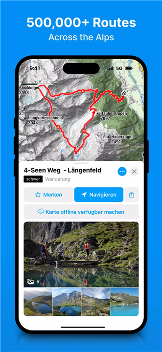
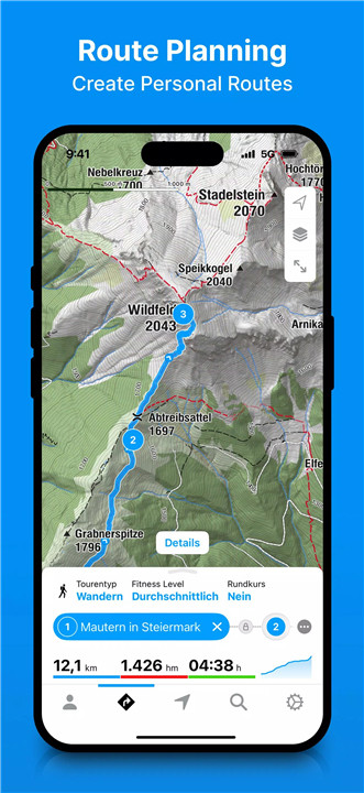
Extensive Trail Database & Route Planner
With over 500,000 hiking, ski touring, running, and mountain biking trails across Europe, bergfex makes it easy to find your next adventure. Filter options and detailed descriptions help you choose routes that suit your fitness level and preferences. If you can’t find the perfect trail, simply create your own with the built-in route planner and enjoy step-by-step navigation to your destination.
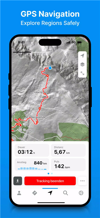
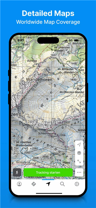
Precise GPS Navigation & Detailed Maps
Bergfex uses regularly updated OpenStreetMap (OSM) data covering the entire Alpine region to ensure you stay on the right path. The app features topographic hiking maps that help you navigate even the most challenging terrains confidently. You’ll never have to worry about losing your way in the mountains.
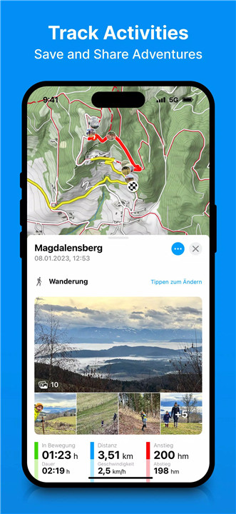
Track Your Activity & Fitness
Monitor every detail of your outdoor activity, including distance, duration, elevation gain, speed, and altitude profile. The app also displays a heat map of all your tracked adventures, giving you a visual overview of your past routes. For fitness enthusiasts, bergfex supports Bluetooth heart rate monitors, letting you analyze your workout intensity and improve your performance.
Seamless Sync & Data Import/Export
Your activities and planned routes automatically sync with your bergfex account. Plus, you can integrate your data with Garmin Connect and Polar Flow, or import/export GPX files to share routes or use them on other devices.
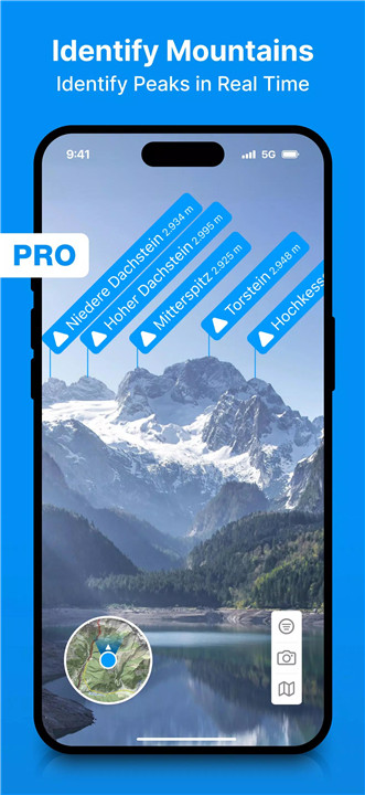
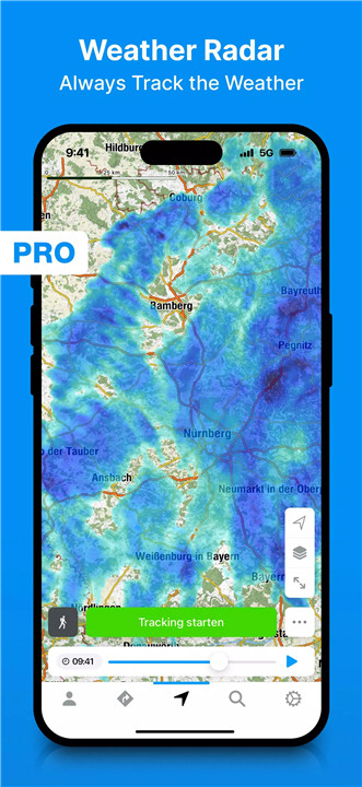
Try PRO Features Free for 7 Days
Upgrade to the PRO subscription to unlock advanced features including:
· Peak Names to identify surrounding mountains
· Access to over 9,500 webcams for live regional views
· Detailed 3D maps and official hiking maps (ÖK50, SwissMap, etc.)
· Avalanche warnings and slope steepness visualizations
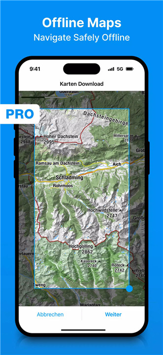
· Route departure alerts and offline map access for areas without internet
· No ads and additional route planning tools like intermediate destinations and heart rate zones
FAQs
1. What are the minimum requirements for installing the app?
You need Android 8 or higher, or iOS 13 or higher to install and use the bergfex app.
2. Which fitness trackers can be connected to the app?
Fitness trackers supporting current Bluetooth standards can be connected to measure heart rate during your activities. However, some manufacturers may limit compatibility to specific fitness apps.
3. What happens after the free trial period?
If you don’t cancel during the 7-day trial, your subscription will automatically renew as an annual PRO subscription.
4. How often is the map material updated?
The bergfex OpenStreetMap data is updated regularly to ensure accuracy. Users can report missing or incorrect routes by emailing app@bergfex.at.
5. Can I use the app offline?
Yes! PRO subscribers can download offline maps to navigate even without an internet connection, perfect for remote hikes.
Version History
v4.16.2—7 Jul, 2024
v4.16.1—27 Jun, 2024
v4.15.10—20 May, 2024